Stage 2 - Gravesend to Erith - 7th June 2024
- John Tippetts

- Jul 31, 2024
- 4 min read

I checked out of the Gillingham Premier Inn but left my luggage there. I’d collect this later in the day after my walk. My hope today would be to reach Woolwich but I knew I probably wouldn’t make it that far because at the end of the walk I’d have to get back to the Premier Inn to pick up my luggage and then get home to Northamptonshire. Anyway, after another early breakfast I walked to Gillingham Station and caught a train to Gravesend. It was another cracking morning with a clear blue sky!
Walking down from the station to the river I passed through St George’s churchyard. St George’s is famous for its association with and statue of Princess Pocahontas - https://en.wikipedia.org/wiki/Pocahontas

On the river it’s very hard to miss LV21, a 40 metre long former lightship that is now a cultural hub; it is very red! It’s moored close to Gravesend Town Pier which is where until the end of March 2024 a regular ferry operated across to Tilbury. The operator of the service gave notice that it was no longer financially viable after that date to continue without more subsidies.


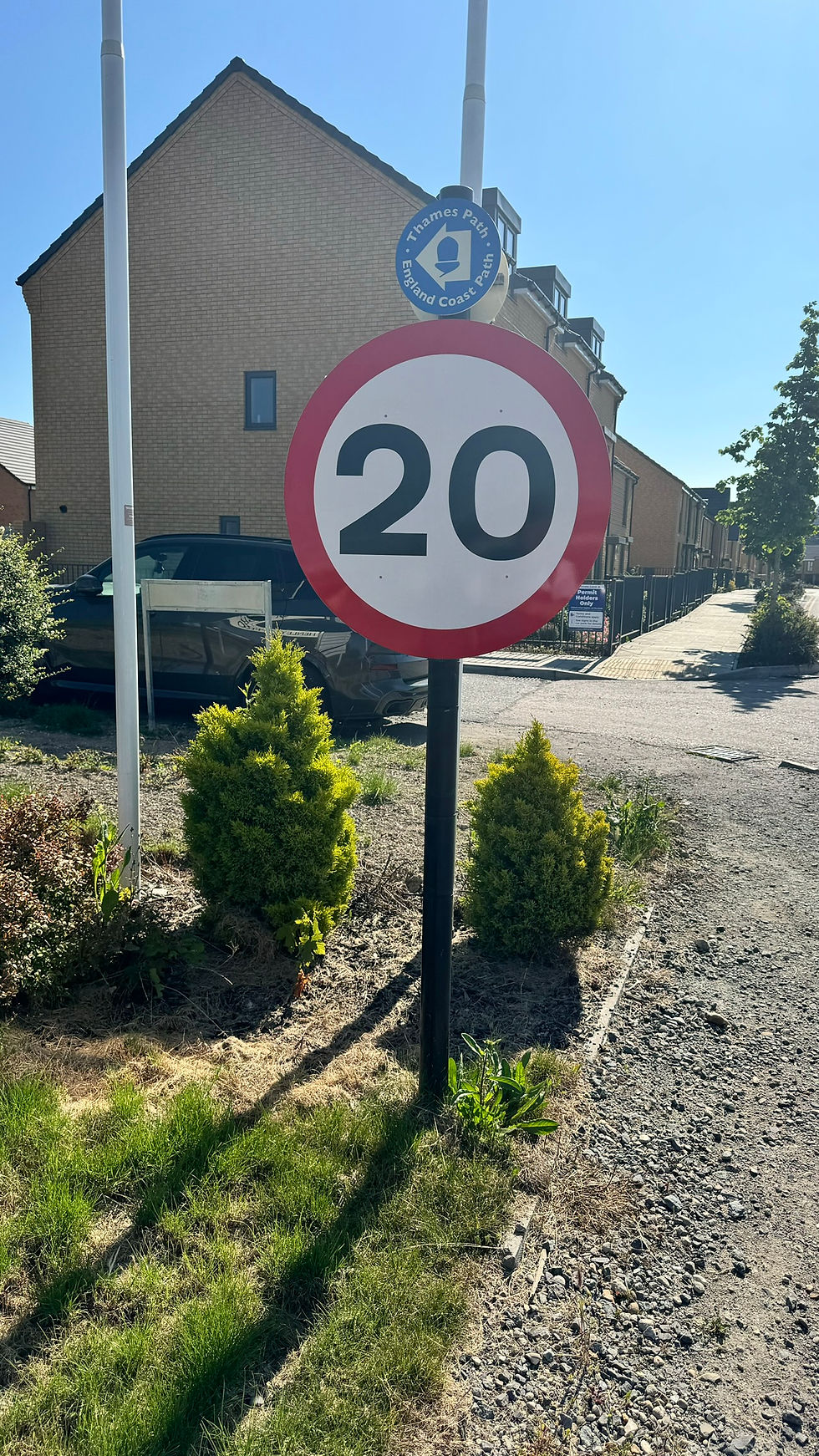
Heading out of Gravesend, the path first of all passed through a new housing estate – Cable Wharf. This is the estate where last year, walking in the opposite direction and after following the Thames Path signs religiously, I ended up being asked by builders where my hard hat was! This was because I should not have been able to get as far as I did without being told to go back. A very understanding site foreman escorted me off the site at the time. I noticed this year that the sign still sends walkers down where I went. Maybe they’ve now finished building that part of the estate; however, I decided not to investigate.

After Cable Wharf I passed the Andrex Water Tower at the Kimberly Clark Mill; this is where our loo rolls are produced. I then continued along the most unlikely looking section of path through Tarmac’s works and then the land being redeveloped by Bellway for housing, before eventually emerging at Ebsfleet United’s football ground.


From there the path continued into Northfleet Industrial Estate before thankfully turning off into Botany Marsh, a local wildlife site on the Swanscombe Peninsular. The site has numerous footpaths and supports a number of endangered species of animals. However, the massive chimney belonging to Britannia Refined Metals and the 2 electricity pylons which carry the 400 kV Thames Crossing from Swanscombe to West Thurrock in Essex dominate the skyline. The official path passes right next to the Swanscombe pylon and at 623 feet in height, it and its twin across the river are the tallest electricity pylons in the UK.


Continuing past the pylon brought me out to the riverside at Greenhithe from where the QEII Bridge came into view. The bridge is the southbound component of the Dartford Crossing, whilst the 2 tunnels under the river comprise the northbound part. The QEII Bridge got ever larger the closer I got until eventually the path passed right underneath it. It’s certainly a handsome piece of architecture.


Beyond the bridge came the Dartford Creek Flood Barrier which crosses the mouth of the River Darent. Built in 1981, it’s a brutal piece of functional architecture that does its job in preventing flooding in Dartford and Crayford when the Thames tides are really high. It has two 160 tonne drop-leaf gates that can be lowered if the Thames threatens to inundate the land. Together with the much larger Barking Creek Flood Barrier further upstream, the Thames Barrier itself, countless other barriers and flood gates, river walls and embankments these are London’s flood defences.

The mouth of the Darent isn’t that wide but you need to cross this river to continue towards London. The thing is, there is no bridge to be able to cross here and the barrier itself is off limits. It’s therefore necessary to walk down one side of the river towards Dartford until you reach the A206 which crosses the river. Having crossed the river you have to continue along the A206 into Barnes Cray, although the official path gets you into Barnes Cray another, slightly longer way off the main road. Next you have to walk up the side of the River Cray (a tributary of the Darent) and finally up the other side of the Darent before finally reaching the Thames again. In total this rather uninspiring adventure up and down the Darent is 5.4 miles. On this occasion I completed it in a record time (for me) of 90 minutes.


Back alongside the Thames the path continued very briefly past a very noisy and untidy industrial estate before turning off to the streets of Erith. I reached the town centre at about 15:30 and after walking 18 miles I decided to call it a day. I hadn’t made it to Woolwich today but I wasn’t too upset. By the time I’d retrieved my luggage from Gillingham, got back to London and finally back to Northamptonshire, it was gone 22:00 and I was exhausted!


Comments